from Horse Cove Gap Trailhead
TENNESSEE | WASHINGTON CO.

U.S. Forest Service Trail Information
Hiking participants:
- Mom (me)
- Toddler (Arlo); 14 months, 25 lbs, carried in Osprey Poco Plus
We set out to hike the Rustic Ridge Trail Loop on Buffalo Mountain. And even though I went to all of the work to download the route from Alltrails, save it to my watch, and record coordinates for the supposed trailhead, we couldn’t find it. So, maybe another day, because based on the topo map – it looks like a lovely hike.
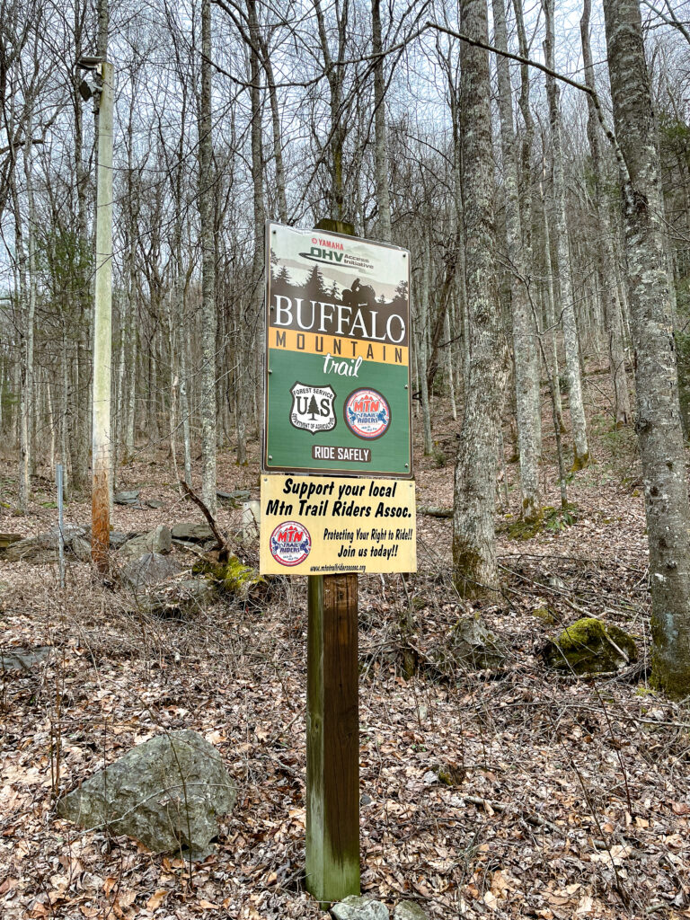
Since there didn’t seem to be any discernable trail from the road and there was certainly no obvious parking spot, we drove to the closest parking area and just decided to take off from there. That just happened to be an ATV trailhead.
The parking lot was gated and closed and has been for the past five weeks we’ve passed by when heading to forest school. I assume, like many Forest Service ATV trails, it’s closed during the rainy season, which is probably fortunate because there is a lot of erosion going on with this trail. That said, some of the stretches were pretty steep and muddy. Though it wasn’t really a problem today, I wouldn’t want to hike it immediately following a substantial amount of rain.
I spent most of the first mile checking the GPS to see where we could hop over and connect to the Rustic Ridge Trail. But eventually, I decided this trail was actually pretty great for carrying Arlo. Not to mention, there were some SPECTACULAR views.
Like, I stopped dead in my tracks a few times and just stood in awe.
Obviously, with it being an ATV trail, it would be nearly impossible to lose your trail accidentally. And you wouldn’t want to risk hiking it when the trail was open to ATVs, as it looks pretty popular among mountain bikers, and there were several sections where erosion was so bad that you couldn’t quickly jump off the trail, so it wouldn’t be safe. But it was pretty great for babywearing because I didn’t have to worry about ducking under branches or worrying about crowded vegetation swiping Arlo in the face.
Because of the relatively easy walking, Arlo could nap for most of the hike.
The wind started to kick up once we neared the ridgeline, so I stopped to put Arlo in his rain jacket to block the wind. I used this time to confirm I’d packed utensils because I’ve had difficulty remembering something to ensure a successful picnic recently. Last time, I forgot a spoon. The time before that, I forgot fuel for the Jetboil. The time before that, it was a bowl or maybe even food – it’s hard to remember. But this time, even though I thought about it for a solid mile, I was pleased to find I had, in fact, packed my utensils.
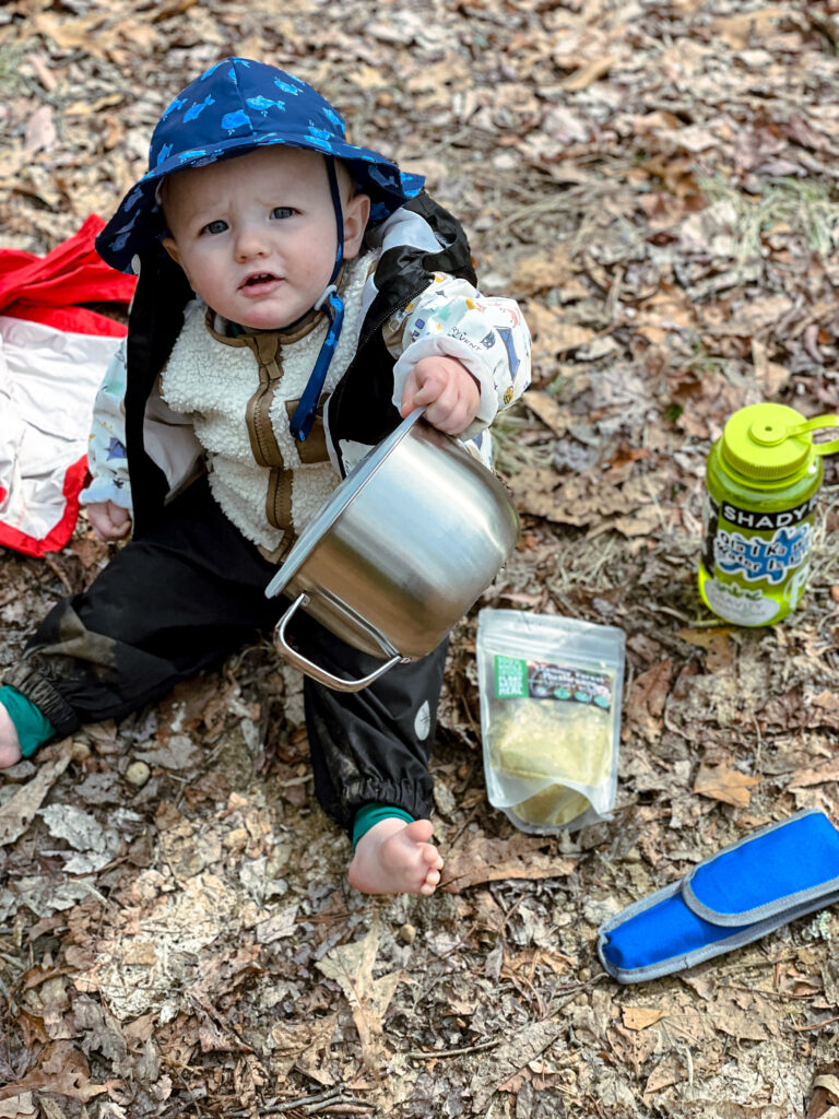
We made it about 2.75 miles and decided to stop here for lunch. That’s when I discovered the Jetboil never made it into our pack from the back of the car.

Luckily, I had a few snacks for Arlo and a mini Lara bar to tide my famished self over. It was 2:00-2:30 at this point, and I hadn’t eaten since my breakfast smoothie before forest school.
While we were taking a break and enjoying snacks, Arlo took his first poop in the woods! Does it count if it was in a diaper? At any rate, it was my first poopy diaper to change on a hike. I was grateful to have my rain jacket to use as a changing pad, though I don’t know why. Arlo didn’t appreciate it and rolled away to spend some time grounding his bum in the dirt. At least we didn’t have to worry about chiggers this time of year.
We made it back to the car around 4:00 PM, gathered our Jetboil, and walked one hundred or so yards down the trail north of where we parked (opposite the ATV trailhead parking lot). Arlo scarfed down as much mushroom soup as I could give him and decided he still needed to nurse before heading back to the car.

As a “thank you” for patiently putting up with being a container baby for over half the day, we stopped by Freddy’s on the way home and ate some fries.
More about the trail
Reminder: this is an ATV trail. Though the Forest Service webpage isn’t current, it notes past season open dates of 15 March – 15 December. So if you are planning to head out here to hike, you must go between the three-month window it’s closed to ATVs: 16 December – 14 March.
Things I love about this trail
- Since it’s not technically a hiking trail, you aren’t likely to run into anyone. Though, it is somewhat popular with area mountain bikers.
- If you run into trouble and need to activate your SOS on your Garmin inReach or similar device, the ATV access ensures rescue professionals can get to you quickly.
- Since it’s an ATV trail, it’s plenty wide, and you have ample verticle clearance, so you don’t have to worry about your baby taking a twig to the face.
Trailhead
36.24508, -82.37592 – South of Dry Creek Road. You will have to walk past the closed Forest Service gate leading to the ATV parking area. Remember, the only time it’s safe to hike this trail is during the closed season.
Parking
36.245547, -82.376337 – Technically, it is a parking area for Green Mile Trail (north of Dry Creek Road), across the road from the ATV trailhead (south of Dry Creek Road).
Depending on how people park, there is room for two to three vehicles to park without blocking complete access to the gated road. However, a third vehicle would have to park in a giant mud hole, which wouldn’t be ideal in certain conditions. Theoretically, one to two vehicles could park in front of the gate to the ATV trailhead without completely blocking it. But as a general rule I think it’s a bad idea to park in front of gates that would prevent emergency personnel from accessing the trail with necessary equipment and vehicles.
Picnic areas
There are ample areas to go off-trail for a picnic. When I planned to eat on the trail, I found a trail adjacent clearing where the ATV trail ran parallel to Upper Briar Creek spur (36.23854, -82.36483). Picnicking at the ATV trailhead would be a decent option. However, if you are like me and prefer not to see all the road traffic go by, I’d recommend walking a few yards down the Green Mile Trail.
Breastfeeding on the trail
Like picnic areas on the trail, breastfeeding opportunities are ample. Because the trail is so wide, you could confidently nurse at the edge of the trail without worrying about being in the direct path of a mountain biker.
Cell phone coverage
According to AT&T published cell coverage maps, and based on my experience, you will have voice service for the entirety of the hike, though data coverage is limited. Based on coverage maps, your services will be more limited if Verizon is your provider. Though, you shouldn’t have any issues once you reach higher elevations on the trail.
Gear
As this was a solo hike, the Osprey Poco Plus was convenient for packing extra layers, diapers, wipes, snacks, and a sitting pad for breastfeeding. I was grateful for our rain gear once we neared the ridge line to protect Arlo from the wind. Under his rain gear, and the only thing he was wearing for the first part of the hike were his Iksplor baselayers and a sherpa vest. A blog about what I pack for every hike is still in the works! I highly recommend poles if you’re babywearing. Due to the time of year and the warmer weather, I wore my bear spray on my belt. This is just good practice any time of year, but it’s not something I obsess over on cold winter hikes.
Agency Contact/Jurisdiction
Non-Emergency Numbers
- Unaka Ranger District 423-638-4109
- Washington County Sheriff’s Office 423-788-1414
- Unicoi County Sheriff’s Office 423-743-1850
- TN Wildlife Resource Agency 423-522-2438
- Johnson City Medical Center 423-431-6111
- Poaching Hotline 1-800-831-1174